
Southlake Neighbors Block Sources
A block question calls for parcel-by-parcel research. Southlake is split between Tarrant and Denton counties, so first identify the county for the target parcel. Tarrant CAID and the city map resources give visual context. The appraisal roll describes a specific parcel, while a recorded plat or deed follows the legal land record. These are stronger starting points than a compiled neighbor list because each result can be dated and traced to its public custodian.
| Source | What the block source shows | Access |
|---|---|---|
| CAID or city GIS | Adjacent parcel polygons, roads, zoning, districts, and facilities | Map pan, zoom, and selectable features; controls vary |
| TAD or Denton CAD | One parcel's indexed owner or mailing contact, situs, value, and legal description | Property search, one parcel at a time |
| Plat | Subdivision, block, lot, and shared legal relationships | County official-record copies or clerk research |
| Recorded deed | Instrument and ownership interest for selected parcels | Public index, counter, terminal, mail, or copy request |
| Voter lookup | One indexed voter's address, status, precinct, and districts | Person search only, not a block browse |
| SPIN or Chamber | Planning context or public business and organization membership | City archives or member directory, not household membership |
Parcel ownership and occupancy are different facts. A mailing address may belong to a trust, bank, attorney, or former owner. A map can show a lot next to the target but not a private household relationship. Treat every map result as a lead for the selected parcel, not as proof that every person on the block is a current neighbor.
Map Southlake Neighbor Parcels
The adjacent-parcel method begins with an address in the map, then moves outward only across the lots relevant to the question. The research did not expose an automated radius or buffer control in CAID. It is more accurate to use road frontage, visible parcel polygons, and a plat than to promise that a fixed distance produces a legal or social block.
- Open Tarrant CAID GIS for a Tarrant-side address, or use the appropriate Denton-side parcel system when the address falls there.
- Search or pan to the target, then zoom to the road frontage and identify the surrounding parcel polygons that are visibly relevant.
- Open each selectable parcel card and record the account or georeference, legal description, and the date the source was checked.
- Use the appraisal record and a county deed or plat only for those selected parcels. Save an instrument number before seeking an image or certified copy.
This method follows property boundaries, not a guaranteed resident count. Cul-de-sacs, private roads, multi-address parcels, and the county line can create false adjacency. For a longer named-road trail, the Southlake Street Directory keeps the street-by-street approach separate from an immediate block review.
The Tarrant CAID GIS viewer supplies the map layer used to begin that process. Its property-information panel links map context with county resources and appraisal tools.
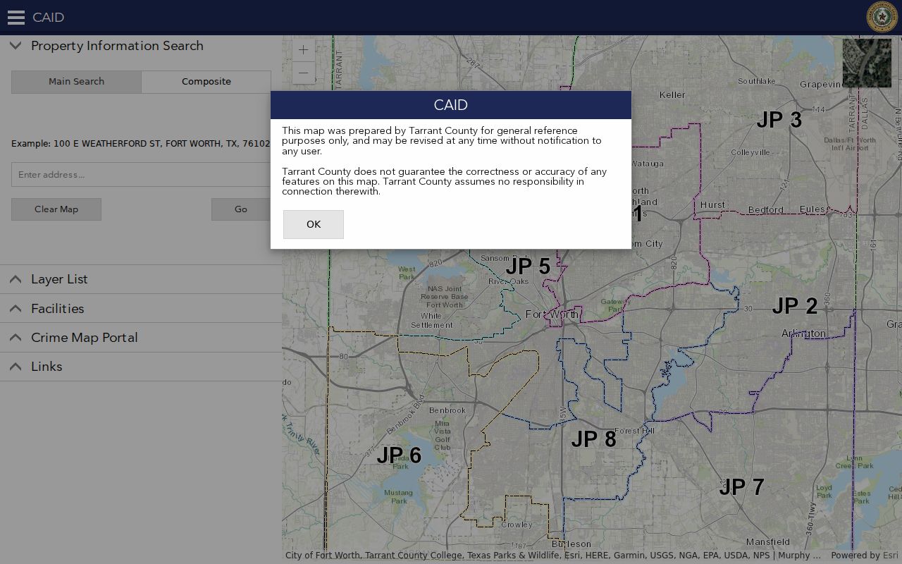
CAID cautions that locations may be approximate and map information may be revised. Confirm a legal boundary from the recorded plat or deed, not from the displayed line alone.
Southlake Neighbors and Plat Records
A plat is the useful bridge between the map and an official land record. It lays out a subdivision's lots and blocks, which can explain why parcels share a platted block even when street numbering is uneven. GIS supplies the visible roads, zoning, SPIN districts, and map context. The appraisal district supplies the parcel account. The county clerk's official-record system supplies the instrument trail. Read together, those three layers narrow a block question without pretending an address result is a complete neighborhood roster.
- Parcel
- A defined piece of property carried in the appraisal and land-record system.
- Plat
- A recorded map that identifies a subdivision, lot, block, roads, easements, or other legal layout details.
- Situs address
- The property's physical address. It can differ from an owner's mailing address.
- Instrument
- A recorded document, such as a deed or plat, identified by the county record system.
On the Tarrant side, the Official Records search can lead from a legal description or name to the public index. If the index does not offer the required image or history, use the County Clerk's copy route, courthouse research, or a narrow mail request. Denton-side parcels need Denton County Clerk and CAD research instead. The city name alone does not choose the custodian.
Note: The map is a research aid, while the recorded instrument and its custodian control the legal description and copy process.
Southlake Neighbors Voter Access
The public Tarrant County Voter Lookup searches one person using last name, first name, date of birth, or State Voter ID. A result can show a name, address, voter status, precinct, districts, and election-history link. It does not provide a control to display all voters on a block, and it does not reveal ballot choices. That design matters: a person result is an indexed registration snapshot, not a household inventory.
Texas law treats some voter and participation information as public while restricting Social Security numbers, Texas driver-license or personal-ID numbers, and protected addresses. The Secretary of State explains that a protected residential address may display as asterisks. A statewide or county voter-file request can use geographic filters, but the request forms have fees, affidavit, and use restrictions. It should not be used to republish a neighborhood roster.
Note: Precinct and district results can change, so record the retrieval date with any public voter result.
Southlake Neighbors in SPIN
Southlake's Program for the Involvement of Neighborhoods, known as SPIN, is civic and planning context rather than a resident directory. The city divides the program into districts 1 through 11. Forums occur about twice a month, and the city provides meeting archives, videos, and active planning-case context. A planning item can help explain a proposed use, a nearby project, or the public discussion tied to an area. It does not identify a block's occupants.
The official Southlake SPIN page is the source for district and forum context. Its archives are a better fit for a civic question than a person search.
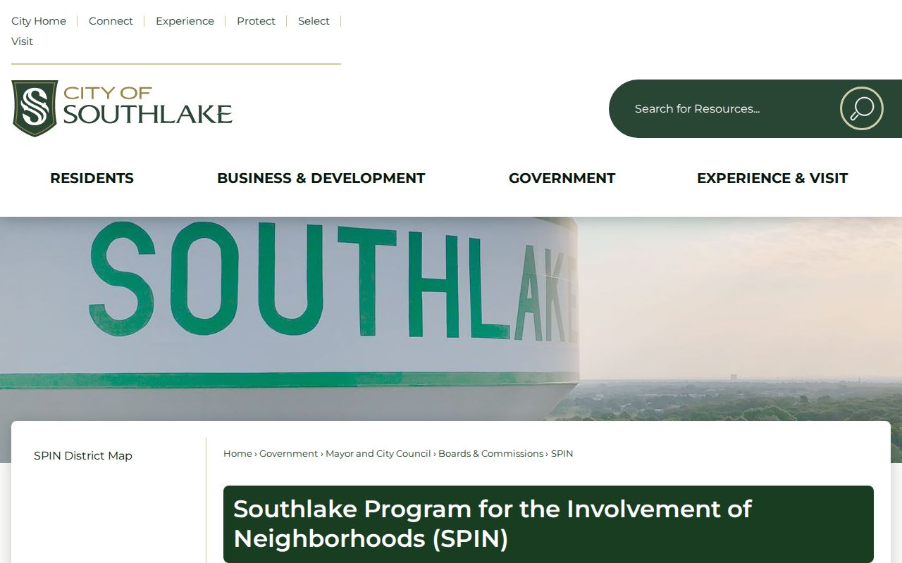
SPIN helps connect a place to a public planning record. It does not replace a county parcel or recorded-instrument check.
Southlake Neighbor Community Contacts
Community organizations add context only when they choose to publish it. The research found no citywide public HOA membership register. An HOA may handle shared ponds, channels, swales, or other common-area maintenance and may keep a private contact structure. Ask a particular association directly whether it makes a public contact or event listing available. Private rosters, block-watch lists, congregational lists, and family details are not ordinary government records.
| Community source | Publicly useful contact or scope |
|---|---|
| Southlake SPIN | City planning forums, district context, meeting archives, videos, and active cases |
| Local HOA | Ask the named association for a public contact or common-area question; no master member list was located |
| Southlake Chamber | 1501 Corporate Circle, Southlake, TX 76092; 817-481-8200; info@southlakechamber.com |
The Southlake Chamber member directory can be searched by keyword and category. It may list a member's business contact, address, or phone where supplied. Those entries are public business and community membership information, not evidence that a person lives at a particular address.
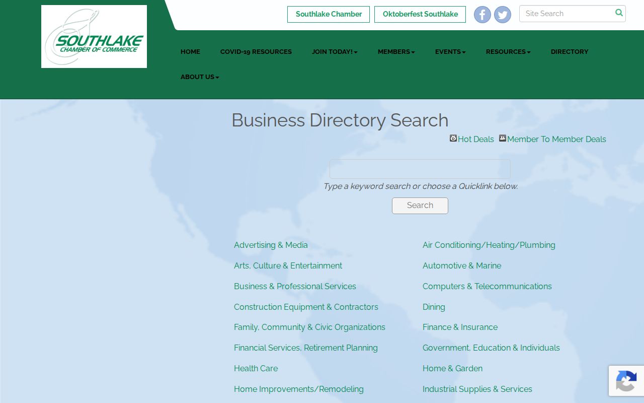
A Chamber listing is most useful for a public organization or local business connection. Confirm entity and credential questions with the official state record.
Southlake Neighbor Tools Compared
Official sources and compiled neighbor products answer different questions. A map, appraisal card, plat, and deed each disclose a limited, dated record with a named custodian. Compiled tools may combine address, vendor, and public data, but can be stale, overinclusive, or difficult to correct. The right choice is the source that can be checked against the record question, not the largest list of names.
| Source category | Best use | Important limit |
|---|---|---|
| Official parcel and deed records | Confirm a selected parcel, legal description, or recorded interest | They do not prove every current occupant |
| Official voter lookup | Check one indexed registration record and civic geography | No public block-browse tool; protected data remains restricted |
| Civic and membership directories | Find public planning or organization context | Membership and contact data are not household facts |
| Compiled commercial neighbor tools | At most, generate a lead to verify elsewhere | May merge people, age quickly, and expose privacy concerns |
Note: A list that cannot be traced to its custodian is only a lead, not a verified block fact.
Southlake Neighbors Privacy Limits
Texas public-record access has firm limits. Nonowner occupants, household members, children, guests, utility customers, delivery records, unlisted phone information, protected-voter addresses, DMV data, sealed court records, and protected vital records do not belong in the ordinary parcel chain. Texas Public Information Act access is subject to exceptions. The Address Confidentiality Program and protected-voter provisions can also keep a qualifying address from ordinary public display.
Texas Election Code rules restrict sensitive voter identifiers, and Transportation Code chapter 730 restricts DMV personal information. An asterisked address, redaction, or blank result is not a gap to overcome by assembling private data from other sources. It may reflect a legal protection, a county mismatch, or a record that is not digitized. Ask the record custodian about the particular access rule instead of guessing.